The Can-Peat Metadata Repository provides access to carbon data to improve understanding of peatland carbon cycling. Here, you can access links to original data sources through metadata files. In the case of sensitive data, you will be provided information on how to request access.

The Municipal Net-Zero Action Research Partnership (N-ZAP) database of Canadian municipal climate data for use and further analysis.
N-ZAP collected data from 256 Canadian municipalities across 10 provinces. The participating municipalities disclosed crucial information relating to local climate action planning and implementation, GHG inventories, policy interventions and stakeholder engagement initiatives. This open access database contains a subset of the survey responses based on the consent of the responding municipalities. More info on project.
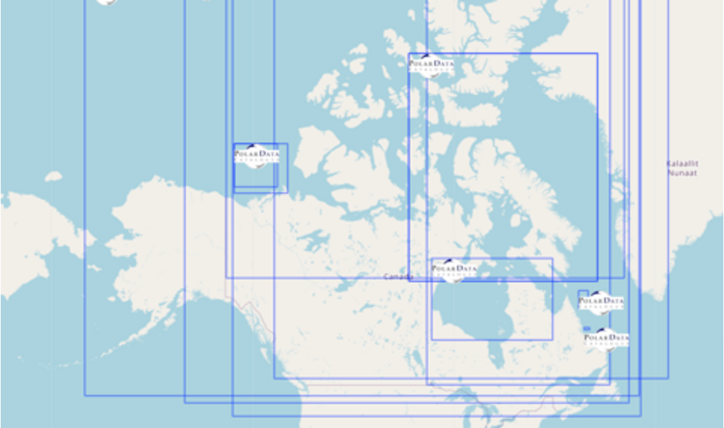
The Polar Data Catalogue (PDC) is a repository of metadata and data that describes and provides access to diverse data sets generated by Arctic and Antarctic researchers. The metadata records follow ISO 19115 and Federal Geographic Data Committee (FGDC) standard formats to provide exchange with other data centres. The records cover a wide range of disciplines from natural sciences and policy, to health and social sciences. The PDC Geospatial Search tool is available to the public and researchers alike and allows searching data using a mapping interface and other parameters.
The metadata explorer is an interactive data visualization that is designed to facilitate metadata and data discovery. This tool includes a variety of search filters, map and table perspectives, and an export feature for easy acquisition and reuse of search results.